January 2026
Arga Pandiwijaya, Tania Benita, Feri Johana, SOLUSI Projects Team of CIFOR-ICRAF Indonesia
© SOLUSI
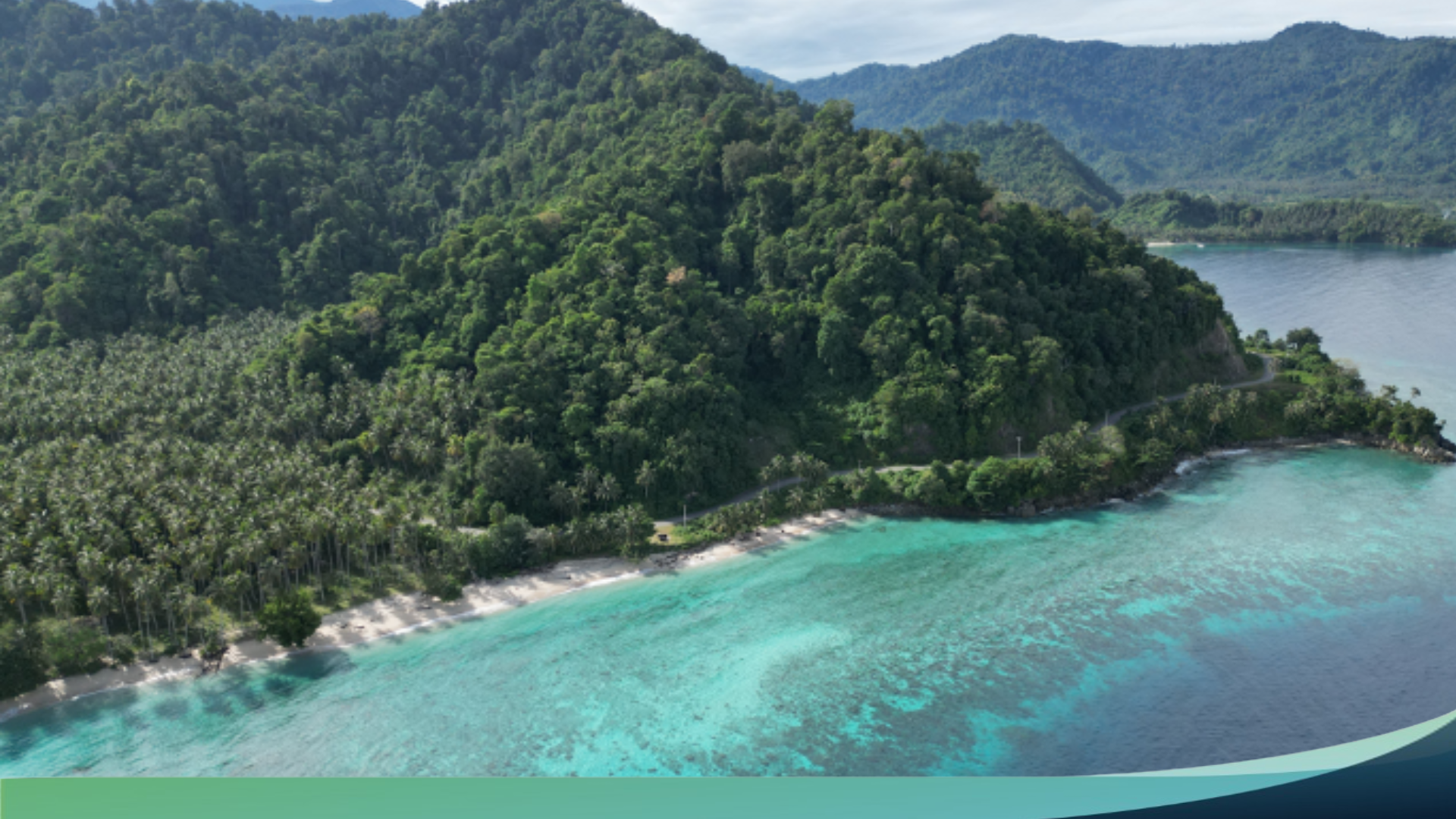
The Integrated Land–Sea Management (IMLaS) intervention is projected to strengthen land–sea ecological connectivity by reducing upstream-to-coastal biophysical pressures. Compared with a business-as-usual (BAU) pathway, it is expected to slow forest loss by up to 15% and improve habitat integration, reflected in a 0.90% gain in the DIFA index. Watershed-focused measures—particularly conservation of catchment areas and rehabilitation of river buffers—are estimated to reduce soil loss to 957 tons/ha (155 tons/ha lower than BAU) and to curb sedimentation across major basins, with the largest reductions in Budong–Budong (−38%), Sausu (−23%), and Lariang Hulu and Palu (−19%).
Beyond watershed processes, vegetation restoration and tighter control of extractive activities are projected to shrink exposure to floods, landslides, and fires by 9.43%, while lowering FOLU-sector CO₂ emissions by 59.7% in 2044–2049. Coastal recovery is also anticipated, with annual increases above baseline of 1.2% for mangroves, 0.87% for seagrass, and 0.24% for coral reefs—signals of gradual improvement in key blue-carbon and coastal protection systems.
Socio economic projections suggest that IMLaS could raise regional GDP growth to 7.75 percent per year compared with 3.26 percent under business as usual, increase household income by 16.24 percent, and support up to 1.3 million jobs by 2049. Crucially, emissions intensity is projected to fall sharply to 9.35 tons of CO₂e per billion rupiah of GDP versus 55.99 under business as usual, signaling a decoupling of growth from carbon pressure.
These outcomes rest on governance reforms including multi stakeholder working groups, data informed deliberation forums, and the harmonization of spatial plans (RTRW) with coastal zoning (RZWP3K). Community resilience is further strengthened through livelihood diversification and social capital investments, alongside improved land and marine space use ratios under IMLaS (0.722 on land; 0.4546 at sea).
Given these prospects, the draft master plan is positioned to serve as a guiding document for integrated landscape and seascape strategies and interventions. It is expected to inform Musrenbang 2026 and be mainstreamed into provincial and district instruments, RPJMD, RTRW, and sectoral policies, while fostering public awareness of land–sea ecosystem stewardship for generations to come.