April 2026
Dhian Rachmawati, Communication Officer, Epistem / Restore+ Project, [email protected]
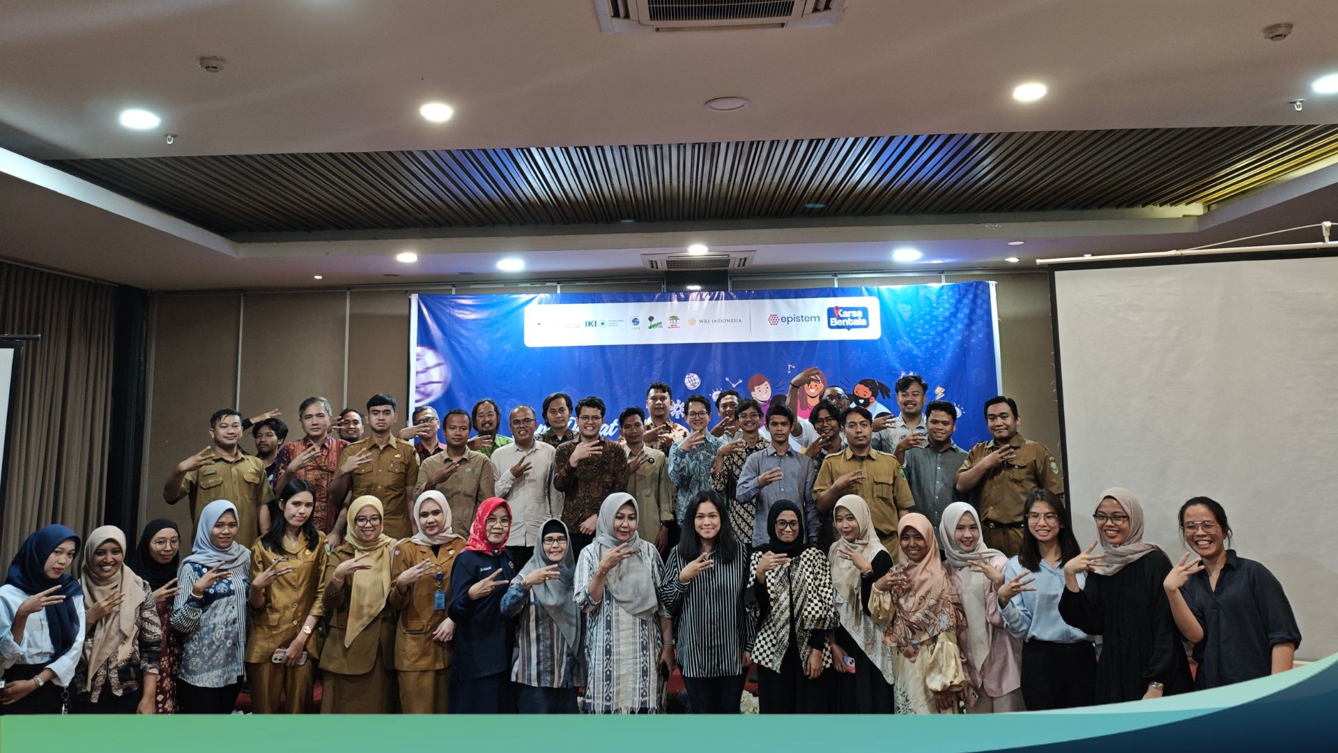
The KOPI DARAT (KOPDAR) activities of the Karsa Bentala Community in Palembang © Dhian Rachmawati
The KOPI DARAT (KOPDAR) activities of the Karsa Bentala Community in South Sumatra play an important role in strengthening participatory mapping capacity to support nature-based climate solutions implemented through the Epistem initiative (Evolving Participatory Information System for Nature-based Climate Solutions), which is part of the Restore+ project. This initiative is organized by CIFOR-ICRAF Indonesia with support from IIASA, BRIN, and WRI Indonesia.
The KOPDAR events in South Sumatra were conducted in three phases from August 2025 to March 2026 in Palembang. These activities brought together a wide range of stakeholders, from local government agencies to civil society organizations (NGOs) and universities, to address the challenge of fragmented spatial data through collaborative approaches and open technologies.
Through the Epistem initiative, a community of practice called Karsa Bentala (Landscape Initiative) was established. This learning community focuses on developing inclusive and accessible landscape mapping technologies. KOPDAR serves as a platform for sharing knowledge and experiences, particularly in Land Cover/Land Use Mapping using Remote Sensing Data, while also strengthening networks and collaboration among members of the Karsa Bentala community. During the third KOPDAR in March 2026, participants explored the use of the Epistem Luma tools, conducted accuracy assessments of remote sensing data, and examined how maps can be utilized for decision-making.
Aryati from the South Sumatra Regional Development Planning Agency (Bappeda) stated that the training provides significant benefits, especially in supporting land use analysis for future planning, such as spatial plan (RTRW) revisions and strengthening data-driven spatial planning. Meanwhile, Hasnan Fajri from the Plantation Agency emphasized the importance of KOPDAR in improving access to and preparation of spatial data for more informed decision-making. From the forestry sector, Himawan Sutanto highlighted the relevance of this training in supporting more effective and efficient forest and land rehabilitation programs.
Looking ahead, Karsa Bentala is expected to continue serving as a dynamic collaborative space to foster innovation, strengthen networks, and ensure higher-quality spatial data utilization in support of sustainable development agendas. Epistem will further expand Karsa Bentala into East Nusa Tenggara and South Sulawesi as other pilot provinces of the initiative.